Rock Boulevard Corridor Study
![]()
Need
Rock Boulevard is an important corridor that provides north-south connectivity across the Truckee River, Union Pacific Railroad (UPRR), and I-80. It serves a wide variety of land uses, including residential neighborhoods, industrial centers, retail and entertainment destinations, public schools, places of worship, and community parks.
Rock Boulevard serves over 20,000 cars per day and experiences regular traffic congestion and travel delay at critical locations, such as the I-80 interchange. The I-80 underpass is frequently subject to flooding during heavy rain events.
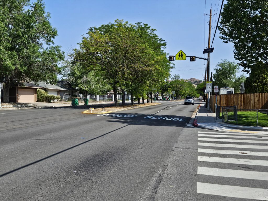
Between 2019 and 2023, 456 crashes occurred in the corridor, including four fatalities and nine serious injuries. Thirteen crashes involved a pedestrian and seven involved bicyclists, including one fatality for each group. Active transportation options are limited, with the only bicycle lanes adjacent to Rock Park in the southern portion of the corridor. As identified in the RTC Active Transportation Plan, the corridor scores poorly when evaluated using the Pedestrian Experience Index and Bicycle Level of Traffic Stress index.
Purpose
The purpose of the Rock Boulevard Corridor Study is to identify safety and mobility improvement options for all corridor users between North McCarran Boulevard and the Truckee River. This will include traffic operations and freight movement enhancements, safety improvements, and upgrading infrastructure for accessible walking, bicycling, and transit.
Study Timeline
- March and April 2026: Public Outreach, Survey Available
- April 30, 2026: Survey Closes
- June or July 2026: Project Team to Present an Update to RTC Board and Advisory Committees
- October 2026: Public Comment Period; Draft Plan to be Presented to RTC Board and Advisory Committees
- November 20, 2026: Plan Adoption Target Date