Safer Streets – Reno Corridor Studies
About the Project:
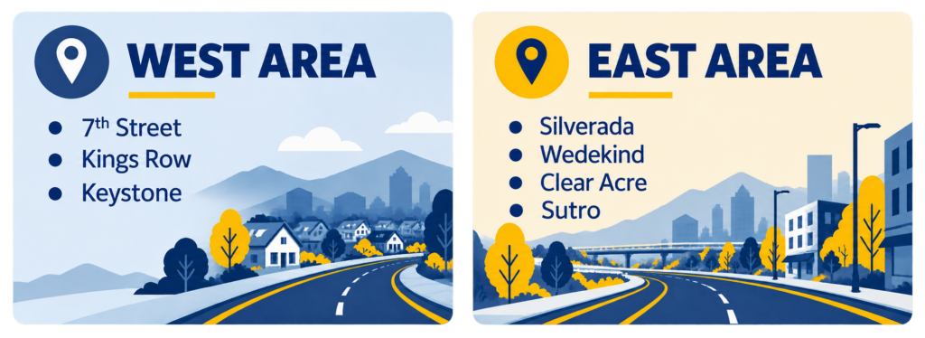
The project includes on two separate but similar traffic safety and operations studies in the City of Reno: one for the Silverada–Wedekind–Clear Acre–Sutro corridors and one for the 7th Street–Kings Row–Keystone corridors. Each study will independently evaluate existing safety concerns, crash risk factors, and traffic operational issues within its respective study area. The goal of both studies is to develop recommendations for safety and operational improvements while considering multimodal needs.
What We're Evaluating

Traffic Safety
Evaluate crash risk factors and identify safety improvements.

Operations & Mobility
Assess how our roadways are working today and for the future.

Multimodal Needs
Consider pedestrians, bicyclists, transit and all users.

Recommendations
Develop practical solutions for safer, more efficient corridors.
